Data4Moz Team
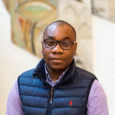
Antonio Inguane
Co-Founder and Managing Partner
Antonio is a specialist in development policies, with expertise in natural resources management, land tenure and property rights, as well as environmental and climate change. Inguane has been engaged in the global outreach process to advance geospatial technology for resource mapping, documentation and decision-making in the Southern Africa and South America regions. His interests lie in using data-driven approaches to identify pragmatic solutions to natural resource management and environmental sectors. He is constantly writing and researching digital transformation and the role of data for decision-making.
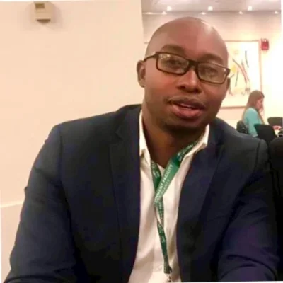
Jose Monteiro
Co-Founder and Managing Partner
Jose is a Forest Ecologist with degree from the University of Copenhagen and specialist in community-based natural resources management. In the past 16 years he has been dedicating time to learning and building knowledge on the human relations with land and natural habitat. Throughout his career in the land sector, he led the development of tools and methodologies to support registration and recognition of community land rights, as well building effective monitoring systems that support decision making processes. His skills range from monitoring land use planning and management, GIS and data analysis, making the perfect combination to lead land and natural resources management decision making processes. He hopes to use his knowledge to develop models and frameworks to support policy decision-making and sustainable natural resources management.
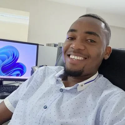
Renaldo Flor
Cartographer and GIS Analyst
Renaldo is a GIS specialist with more that 4 years experience working with GIS related technology. He holds a BSc in Geography with specialization in Cartography and GIS science. Reinaldo’s expertise lie in the practical application of GISci in various industries including, health and human services, public safety, natural/environmental management, commodity value chain mapping and traceability, urban planning, government and transportation. Renaldo worked with the National Geospatial Agency, building catalogs and metadata for the Beira and Nacala corridors.
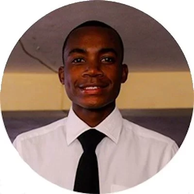
Stelio Matsinhe
GIS Analyst
Stelio is a GIS Analyst, with more than 4 years working experience with GIS technology. Stelio holds a BSc degree on Geographic Information Science from Eduardo Mondlane University. Stelio held various intern positions, including a GIS Analyst for the Mozambican National Geospatial Agency. His expertise range from Programming, GIS Modelling, Advanced Statistics for Geography and Planning, Remote Sensing and Sistems Development.
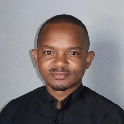
Octavio Orlando Carlos
Financial Assistant and Accountant
Octavio is a Financial Technician and Accountant , with more than 5 years working experience with financial documentation and organization compliance. Octavio holds a BSc degree in Accounting and Finance from Zambeze University. Octavio has worked with various organizations as a Finance and Administration Assistant, supporting the overall administration tasks as well as ensuring the organization financial compliance. His expertise range from finance, administration, account, procurement and marketing.
Belmiro Dos Santos Guilande
Geomatics and GIS Technisian
Belmiro is a Geomatic Technician with expertise in surveying mapping designing and development of operating systems for data collection and analysis in various sectors. Belmiro has experience working as GIS Analyst, combining both GIS mapping, scripting and modeling skills, with Business Intelligence processes and tools, helping public and private organizations to harness their analytical capacity to enrich decision making processes. Belmiro holds a technical degree in Earth Sciences from INFATEC and, he is currently finishing his BSc of Applied Science and Geoinformatics at the Eduardo Mondlane University.
Amilcar Benante
Rural Development Specialist
Amilcar is a Rural Development Specialist, with more than 20 years working experience across Mozambique. Amilcar holds a MSc degree in Sustainable Agriculture and Rural Development from SOAS University of London. Through his career Amilcar held various senior positions, including a Deputy National Director for iTC-F (Community Land Initiative). His expertise range from natural resources management, agriculture economy as well as monitoring and evaluation.
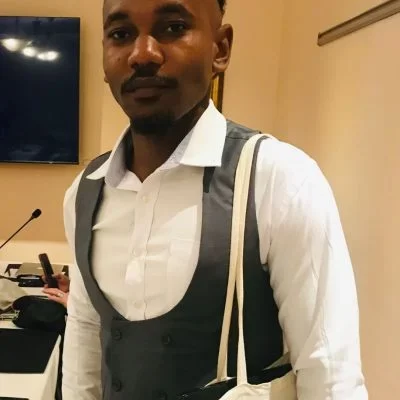
Déyril Marlon Ibraimo
Remote Sensing Specialist
Déyril Marlon Ibraimo, an Agricultural Engineer, specializes in remote sensing applied to agriculture and vegetated areas. In his academic capacity, Déyril served as a Monitor Lecturer in Geographic Information Technology at the same institution, specializing in Geographic Information Systems and remote sensing. His expertise is particularly notable in the areas of the Normalized Difference Vegetation Index (NDVI), Google Earth Engine (GEE), and Light Detection and Ranging (LiDAR) data analysis. These skills enable him to expertly assess vegetation health, analyze large-scale environmental data efficiently, and interpret complex topographical and vegetative data with high precision. Déyril’s proficiency extends to advanced geoprocessing, especially in agricultural and forestry applications, where he adeptly measures biophysical parameters. His capability in data collection is complemented by his skill in conducting comprehensive statistical data analysis.
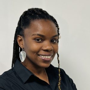
Margarida Victor
GIS and RS Specialist
Margarida embarked on a GIS career in 2018, starting as a GIS Technician
and database management. She has experience working with a wide
range of ESRI software such as ArcGIS Pro, Drone2map, Survey 123, and
Field Maps, as well as remote sensing tools like ERDAS, Pix4DCapture, Cloud
Compare, and SNAP. She is also proficient in using JavaScript (Google Earth
Engine) and Machine learning in Jupyter Notebook/ Google Colab to
conduct remote sensing analysis for decision-making. She has also led
drone surveys for planning purposes.

Samuel Ouana
GIS and RS Intern
Samuel is a dynamic and motivated RS and GIS Intern with a passion for leveraging geospatial technologies to address real-world challenges. Currently pursuing BSc degree in Geography at Eduardo Mondlane University, Samuel brings a solid foundation in remote sensing (RS) and geographic information systems (GIS) coupled with a strong academic background. Samuel have demonstrated practical experience in utilizing industry-standard tools and technology such as ArcGIS, QGIS, and ENVI for spatial analysis and visualization.
