OPINION: Let data drive urban planning in Mozambique
* Any views expressed in this opinion piece are those of the author and not of Thomson Reuters Foundation.
Mozambique is struggling to address challenges from migration to population growth and inadequate urban planning – could data help?
Antonio Inguane is an international development specialist at the Cadasta Foundation.
Last year Mozambique held municipal elections, which resulted in new mayors being elected in the cities of Maputo and Chimoio.
With both cities having undergone rapid urbanization in recent years, the newly elected mayors have pledged to promote sustainable urban development. The mayors hope to do this by allocating critical public services and funds to the most marginalized areas to improve the living standards of the cities’ urban populations.
More than a year after the elections, it is still unclear how the mayors hope to do this. What strategies will they use to deliver effective and efficient services to those most in need? And what makes their approach different from previous administrations?
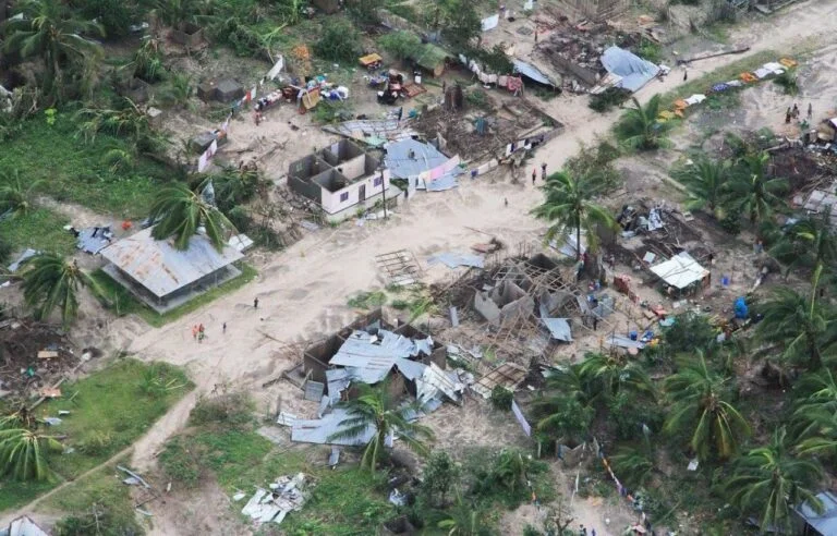
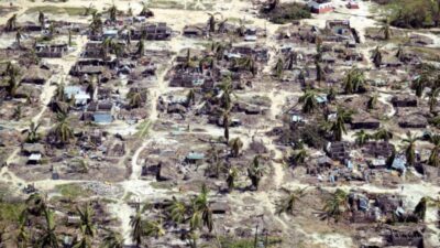
On a recent trip home to Mozambique, I looked out the airplane window to contemplate the landscape mosaic below. To my surprise, the cities of Maputo and Chimoio have expanded significantly since my last visit in 2017. New urban settlements can be seen sprawling across the horizon, encroaching upon the surrounding agricultural lands and green areas.
From the bird’s eye view, this expansion is happening without proper land use planning. Like many other Sub-Saharan African countries, Mozambique is struggling to address the challenges associated with rural-to-urban migration, population growth, urban governance, inadequate urban planning, and land-related conflicts.
Collectively, these challenges are putting an enormous strain on existing public resources.
Until now in Mozambique, solutions have been focused on reactive approaches, in which authorities intervene after the problems have already occurred. While such a strategy might have worked in the past, the current urban population growth trends require a more innovative approach to sustainable urban development.
To do so, it is critical that decision makers leverage data and information to make strategic and sustainable decisions.
Municipal authorities need to have a better understanding of their cities before beginning the process of planning, investing, and building. To do so, they need tools, knowledge, expertise, and data to inform and drive evidence-based interventions.
With the existing network infrastructure and connectivity in the urban areas such as in Maputo and Chimoio, information and data can be shared in real time through a combination of mobile and web-based applications.
Organizations like Cadasta Foundation have partnered with local communities and organizations, NGOs, and government entities around the world to deliver innovative solutions in urban governance, with a particular focus on advancing the tenure security of land and other resources.
Using state-of-the-art geospatial technology built on Esri software, the Cadasta Platform 2.0 can combine different applications with a customized workflow to deliver efficient and accurate results. Cadasta’s tools and services have been used by partners around the world to document informal urban settlements and pave the way for planning and upgrading.
In Odisha state, India, for example, Cadasta partnered with Tata Trusts and the Odisha State Government on the Odisha Liveable Habitat Mission—an innovative project designed to improve the living conditions of informal settlements in Odisha state, India. Cadasta partnered with Tata Trusts by providing tools and training for over 800 community data collectors. Using fit-for-purpose technology and services, the team behind the project were able to efficiently document and map 123,000 households to date, to create an official data set of slum dwellings in Odisha. More than 70,000 households have subsequently received official Certificates of Land Use.
In addition to providing the certificates, the initiative is also working to provide essential civic urban infrastructure such as housing, road, drain, individual household toilets, public toilets, street lights, full-time pipe water supply to households, common work sheds, parks and playgrounds, among other amenities to the settlements. Already being publicized by media as the “world’s largest slum titling initiative” an expansion of the project has been announced to target some 200,000 households by the end of 2018.
While urban challenges are not limited to tenure security and land use planning, tackling these issues is fundamental to the promotion of a sustainable urban governance.
As the Community Land Initiative Executive Director Emidio Oliveira once said: “Citizens are more likely to exert their duties and responsibilities when their properties and assets are secured and protected.” To this end, municipal authorities need to prioritize planned land use and ensure that urban tenure security is well documented.
By using affordable, reliable, and open access technologies, municipal authorities in Mozambique can learn from India and gather accurate data to deliver critical services, solve problems, and ensure long-term sustainable urban planning.

